Introducing TerraScope Maritime: global vessel tracking that automatically identifies trends, detects anomalies, and anticipates behaviors.
Learn More »Elements fuses industry-leading capabilities in AI modeling, satellite imagery, and data visualization. Convert raw data into decisions that matter across land, sea, air, and space.
Fast-track implementation with one of our pre-built solutions, or build a custom capability across domains to meet your specific organizational needs.
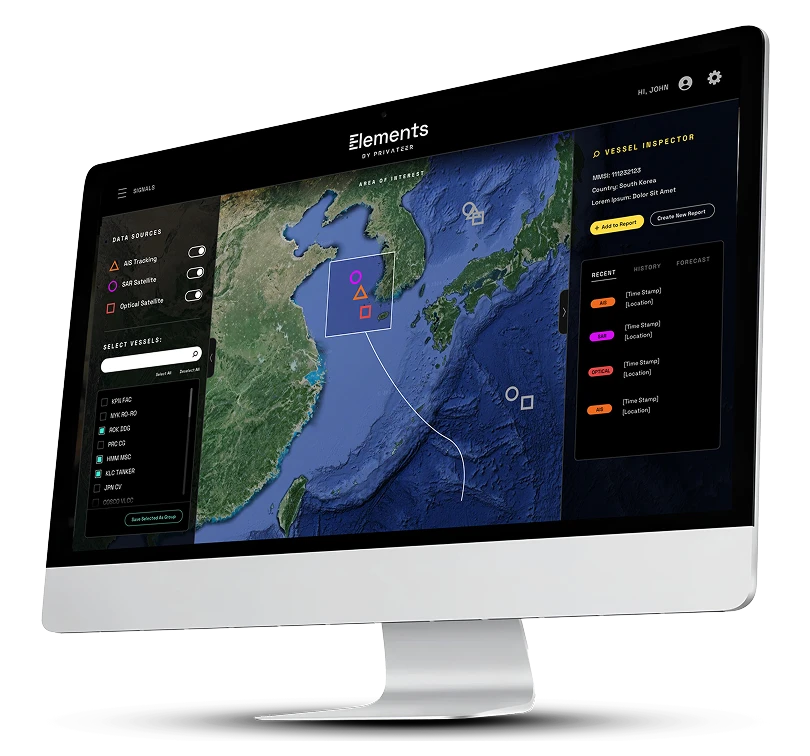
Elements: Sea translates raw data into always-on maritime intelligence, empowering users to maximize efficiency and make better decisions at sea.
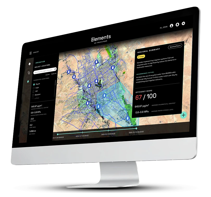
Elements: Land turns geospatial data into business insight, helping teams identify trends, flag anomalies, and monitor progress to move from complexity to clarity on the ground.
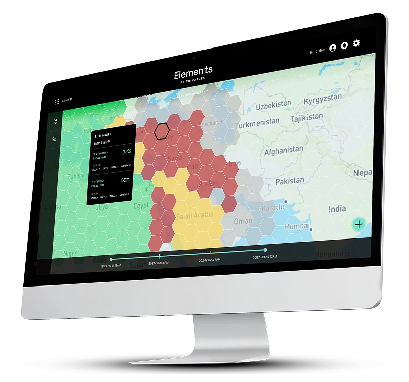
Elements: Air uses geolocation and satellite data to deliver precise global positioning and airspace visibility.

Elements: Space is an all-in-one space domain awareness platform that tracks, visualizes, and contextualizes activity in orbit to support safe, sustainable, and strategic commercial activities.
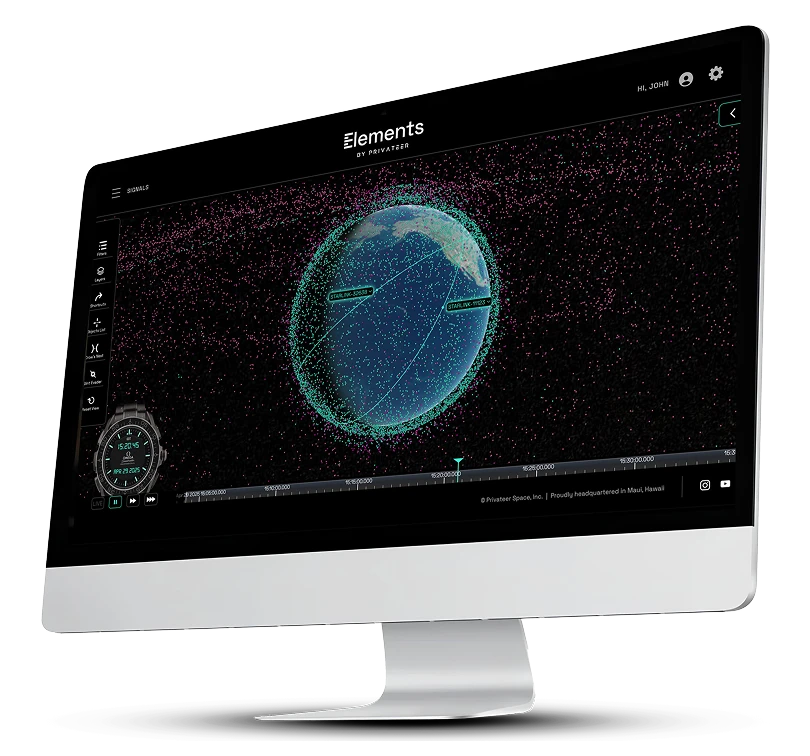

From off-the-shelf products to customized deployments, Elements gives teams a single platform to power workflows with advanced insights–no geospatial analysts required.


Explore detailed information on capabilities, use cases, and FAQs in our downloadable guide.
Download Pdf
See how Privateer turns complex geospatial data into clear, actionable knowledge for business leaders at every level.
Get In touch