
Space Domain Awareness vs. Space Situational Awareness: What’s the Difference?

October 21, 2026
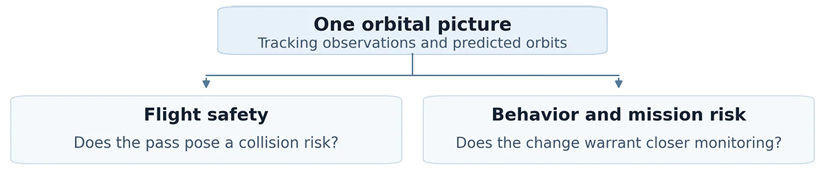
Picture two alerts arriving on a satellite operator’s screen. One flags a piece of debris that may pass close to your spacecraft tomorrow. The other shows that a nearby satellite has changed orbit and will pass closer to yours than expected. Both call for a safety check. The second raises another question. Does this change warrant closer monitoring?
What SSA and SDA tell you
Space situational awareness (SSA) gives operators a picture of what’s in orbit, how objects are moving and their behavior over time. It supports tracking satellites and debris, detecting maneuvers and assessing possible collisions. In November 2026, the European Space Agency reported that surveillance networks regularly tracked and cataloged about 47,000 objects.
ESA space environment statistics
Space domain awareness (SDA) uses that orbital picture alongside other evidence to understand what an object is doing and what it could mean for a mission. An analyst may look at how the satellite usually behaves, what its operator has announced and whether another source confirms the change. In U.S. Space Force doctrine, SSA is part of SDA. The terms are used differently across organizations.
U.S. Space Force SDA doctrine
When a satellite changes orbit
Suppose updated tracking shows a low enough collision risk for the flight team to continue normal operations. The team keeps screening for future close approaches. In parallel, an analyst checks whether a separate observation confirms the orbit change, compares it with the satellite’s past behavior and looks for a dated operator notice that might explain the move.
If the change is confirmed and the approach continues, the analyst might request another observation and recommend closer monitoring. The team can take that step while the purpose of the maneuver is still unclear.
How Privateer helps teams investigate
A change in orbit can show up in several feeds at once. If those feeds repeat the same catalog entry, they add no independent confirmation. An analyst needs to know which information is current, where it came from and what would help resolve the uncertainty.
Elements Space brings together data from government and commercial catalogs, sensor networks and satellite operators. Teams can review orbital changes and close approaches in a shared view, compare activity over time and decide which events need a closer look.
Elements Space capabilities
Privateer research on monitoring decisions
At the 2026 AMOS conference, Privateer researchers Bryan Minor and Matthew Lugo examined whether publicly available information (PAI) could help analysts decide which satellites warrant closer monitoring. The study checked that evidence referred to the right satellite and was available at the time of the assessment. It also tracked where each piece of evidence came from. The study showed where PAI could help prioritize monitoring and where missing or hard-to-verify evidence limited the assessment.
AMOS 2026 abstract · Conference paper (PDF)
Frequently Asked Questions
Can the same event call for both SSA and SDA?
Yes. A close approach may require a collision-risk assessment and a separate judgment about whether the other satellite’s behavior warrants more attention. NASA conjunction assessment guidance.
Can orbit data reveal why a satellite moved?
Orbit data can show how a satellite moved. Assessing the satellite’s intent also takes context, such as mission history, operator communications or other observations. Sometimes the available evidence leaves the reason open.
Bring us a satellite monitoring question
Which orbital changes are hardest for your team to evaluate? Tell us what you monitor and where you need better evidence. In an Elements Space demo, we can walk through a relevant scenario with you and show how your team could review the evidence and decide what to investigate next.